Satellites and Ice Physics Unveil Antarctica’s Hidden Landscapes
Researchers used satellite surface data and ice-flow physics to map Antarctica’s subglacial topography, revealing thousands of hills, valleys and channels and improving sea-level models globally.

 The Debrief
“One of the Solar System’s Least Mapped Planetary Surfaces”: Satellite Data and the Physics of Ice Flow Finally Reveal Antarctica’s Hidden Landscapes

 Gizmodo
Satellites Capture the Hidden World Beneath Antarctica's Ice
 BBC News
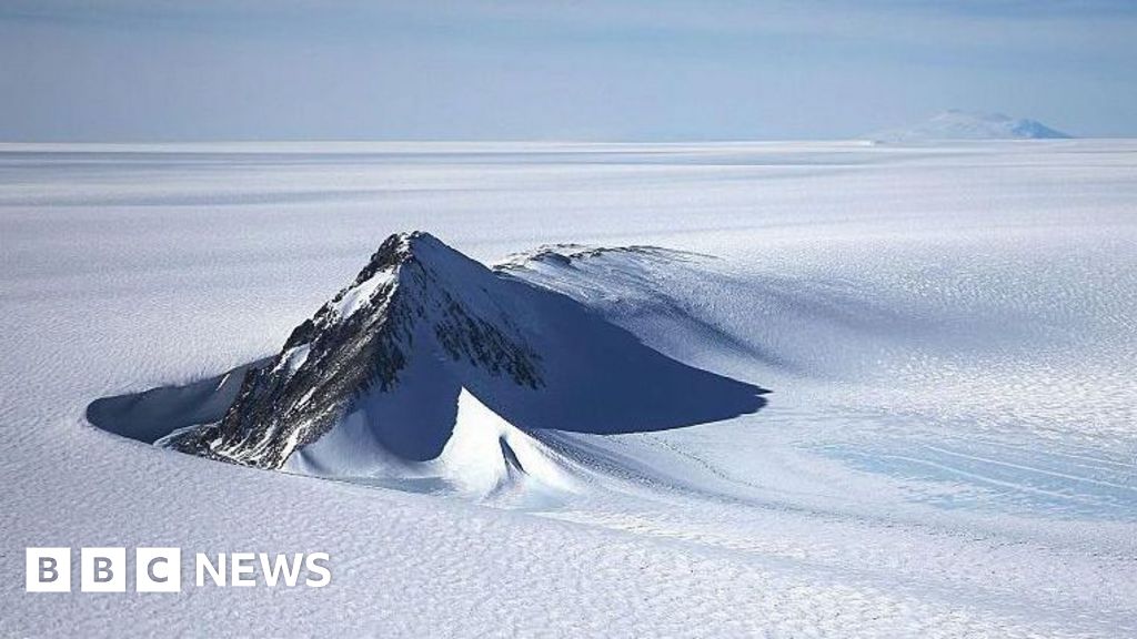
New map reveals landscape beneath Antarctica in unprecedented detail
Overview
An international team led by the University of Edinburgh, with lead researcher Dr Helen Ockenden, combined satellite observations and ice physics to map Antarctica's subglacial landscape.
Using ice-surface measurements, ice-thickness data and an Ice Flow Perturbation Analysis, researchers inferred bedrock topography hidden beneath miles-thick Antarctic ice across the entire continent.
The new map reveals tens of thousands of previously unknown hills, ridges, deep alpine valleys and buried fluvial channels, with some features extending tens of kilometers long.
Authors say the dataset improves ice-sheet models, guides targeted geophysical surveys, and can reduce uncertainty in projections of Antarctic ice loss and consequent global sea-level rise.
Researchers caution the method relies on assumptions about ice deformation, basal sliding and melt-freeze processes; they call for follow-up radar and field surveys to refine the map.
Analysis
Center-leaning sources present this science story neutrally: they foreground methods (satellite data plus ice‑flow physics), cite the peer‑reviewed journal and researcher quotes, and explicitly note assumptions and limitations. Editorial choices emphasize factual findings and cautious climate relevance rather than advocacy or sensational language, making framing minimal.
FAQ
Researchers applied Ice Flow Perturbation Analysis (IFPA), combining satellite observations of the ice surface, ice thickness data, and ice flow physics based on the full Stokes equations to infer bedrock topography.
The map revealed 71,997 hills (more than double previous maps), steep-sided valleys nearly 400 km long, deep alpine valleys, ridges, buried fluvial channels, and jagged alpine-like peaks extending tens of kilometers.
It enhances ice-sheet models by capturing mesoscale topography (2-30 km) that affects ice flow friction and movement, reducing uncertainty in projections of ice loss and global sea-level rise.
The method relies on assumptions about ice deformation, basal sliding, and melt-freeze processes, resolves features at mesoscale (2-30 km) but misses smaller landforms, and requires follow-up radar and field surveys for refinement.
The research was led by Dr. Helen Ockenden from the University of Edinburgh and published in the journal Science.