Winter Storm Watch Threatens Northern California Travel
Winter storm watch for much of Northern California warns of major travel impacts and up to 6 to 8 feet in higher elevations, officials said.


Overview
A winter storm watch has been issued for much of Northern California, and the National Weather Service warned travelers of "major travel impacts," officials said.
With many people traveling for Presidents Day weekend, Dakari Anderson, a National Weather Service meteorologist in Sacramento, said Saturday through Sunday morning will be the "best travel window."
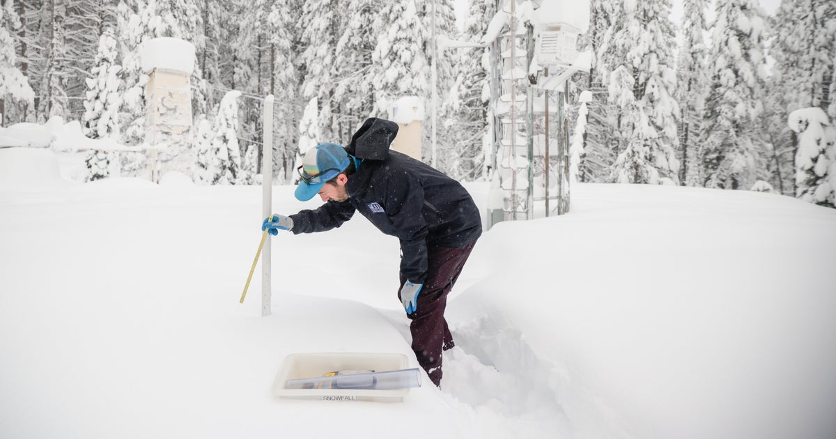
Anderson said communities at elevations of 3,000 to 4,000 feet can expect one to two feet of snow beginning Sunday afternoon, while higher elevations could see much more.
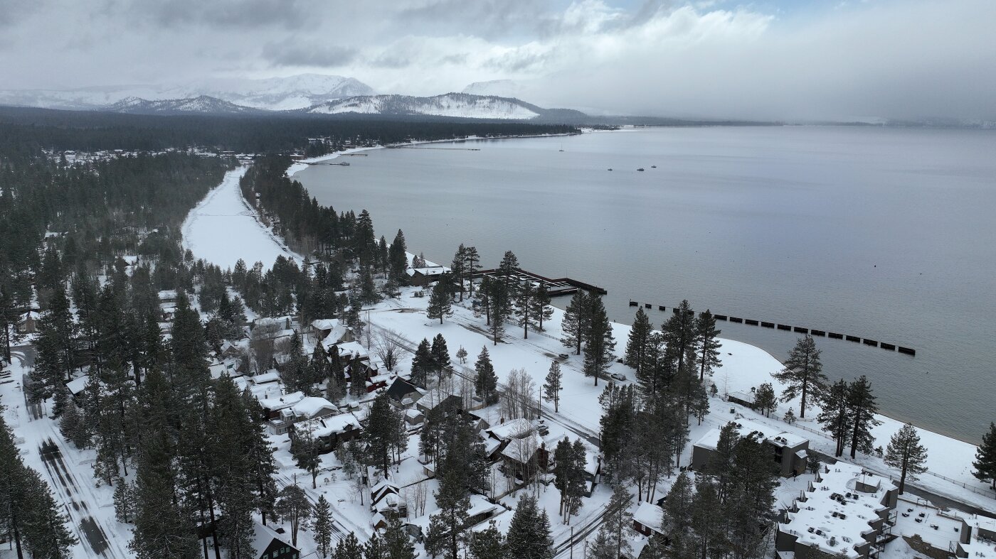
Communities in higher elevations could see possibly six to eight feet of snow, and Anderson cited Blue Canyon at 4,695 feet and about 51 miles west of Lake Tahoe as potentially impacted.
The City of South Lake Tahoe warned residents that driving on Monday could bring delays, possible road closures and whiteout conditions, and the Shasta County Sheriff's Office urged residents to use Saturday's clear weather to prepare.
Analysis
Center-leaning sources present this weather alert neutrally, relying on official warnings and local advisories rather than partisan framing. They foreground National Weather Service quotes about “major travel impacts” and “extreme caution,” include local agency notices from South Lake Tahoe and Shasta County, and emphasize concrete travel guidance without evaluative language.
FAQ
The winter storm is expected to continue from Sunday night through Wednesday night. Most of Northern California will see impacts by Sunday night, with the storm remaining widespread through Monday and Wednesday. By Thursday, February 13, and Friday, February 14, conditions are expected to be mostly clear, providing a brief break before the stronger storm system arrives late Saturday.
Drivers should prepare for multiple hazards including low visibility conditions, heavy snow above certain elevations, strong winds with gusts up to 50 mph, and possible road closures and chain controls in mountainous areas.[1] Officials are also warning against driving through flooded roadways, noting that 12 inches of moving water can sweep away a vehicle.[1] The National Weather Service specifically warned that travel in the Sierra Nevada and to ski resorts will have 'major travel impacts' and requires 'extreme caution.'[2]
Northern California has experienced weeks of unseasonably dry and mild weather, with the snowpack dwindling to just 53% of normal according to the Department of Water Resources.[4] This winter storm represents the region's first substantial precipitation in weeks, making it particularly anticipated for replenishing water supplies and improving drought conditions after an extended dry period.[4]
The Sacramento Valley could see 2 to 3 inches of rain, while foothill areas could receive up to 4 inches of rain by Wednesday.[1] In contrast, mountain communities at higher elevations will receive snow instead of rain, with areas above 5,000 feet potentially seeing 6 to 8 feet of snow accumulation.[2]
Saturday through Sunday morning provides the 'best travel window' according to National Weather Service meteorologist Dakari Anderson.[2] After Sunday afternoon, storm impacts will worsen significantly with snow beginning at 3,000 to 4,000 feet elevations, making travel increasingly hazardous through Wednesday.[2]
:sharpen(0.5,0.5,true)/evrimagaci.org%2Fpublic%2Fgpt%2Fimages%2Flogo%2F%2F180.png)